Diagenetic history of the Podhale flysch basin
DOI:
https://doi.org/10.7494/geotour.2008.13.45Keywords:
Carpathians, Podhale, Podhale flysch basin, Ružbachy fault, southern Poland, Spišská Magura, Tatra Mts, basen fliszowy Podhala, Karpaty, Magura Spiska, południowa Polska, Tatry, uskok RużbachówAbstract
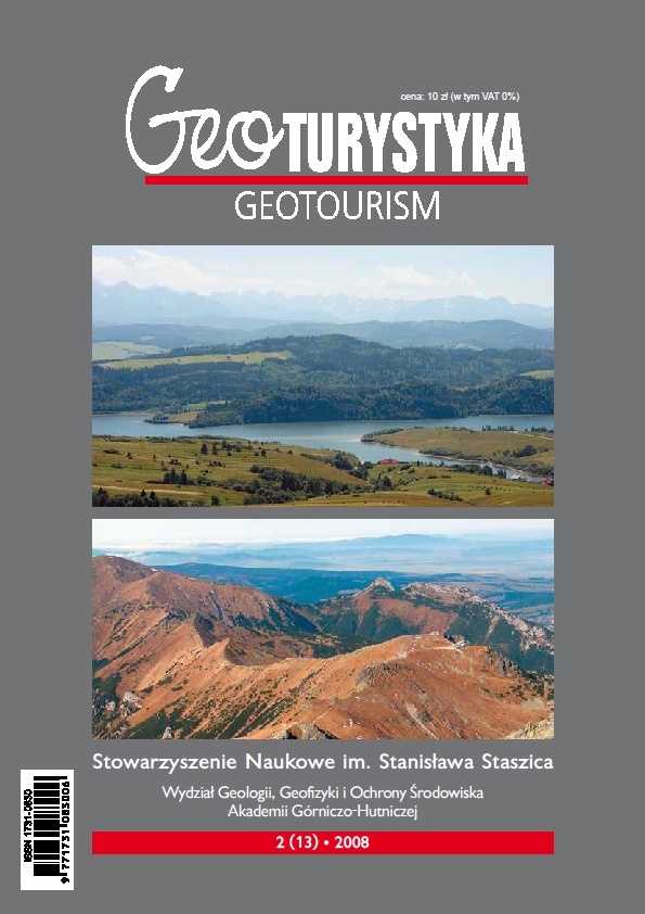
This text presents a one day field trip starting and ending in Zakopane, Poland, devoted to explaining geological history of the Tertiary flysch basin of Podhale, situated between the Tatra Mts. and the Pieniny Klippen Belt. The first stop demonstrates the rocks filling the Podhale Basin: sandstones, shales, and in particular bentonites, which are rare horizons of volcanoclastic origin, helpful in radiometric dating of the basin maximum burial. From the top od Wżar Hill (second geological stop), which itself is interesting from geoturistic standpoint for the quarries exposing its andesite sills, the topography of Podhale and Spišská Magura, which reflects higher rates of uplift in the east, is clearly visible. The flysch basin, which developed in Eocene, and in Oligocene covered entire region including the Tatra Mts., formed due to vertical down movement on the Ružbachy fault, and then, ca. 15-18 Ma ago was inverted and uplifted, again along the Ružbachy fault. The fault itself and the accompanying phenomena (thermal water discharge and travertine deposits) are visited at the final stop in Vyšné Ružbachy.
//
Ten tekst przedstawia jednodniową wycieczkę geologiczną z Zakopanego, poświęconą prezentacji historii geologicznej trzeciorzędowego basenu fliszowego Podhala. Pierwszy punkt wycieczki poświecony jest prezentacji skał wypełniających basen podhalański: piaskowców, łupków, a w szczególności bentonitów, czyli rzadkich poziomów skał pochodzenia piroklastycznego, pomocnych przy datowaniu radiometrycznym wieku maksymalnego pogrzebania. Ze szczytu wzgórza Wżar (drugi punkt geologiczny wycieczki), które samo w sobie jest interesujące z geoturystycznego punku widzenia, z uwagi na kamieniołomy odsłaniające sille andezytowe, widoczna jest dobrze topografia Podhala i Magury Spiskiej, zapisująca większe szybkości wynoszenia basenu na wschodzie. Basen fliszowy, założony w eocenie, w wyniku ruchu w dół na uskoku Rużbachów, w czasie oligocenu pokrywał cały region, włącznie z Tatrami. Basen ten od 15-18 Ma jest wynoszony, także wzdłuż uskoku Rużbachów. Ostatni punkt wycieczki w Wyżnych Rużbachach demonstruje linie uskoku i zjawiska towarzyszące: wypływy wód termalnych i tworzenie pokryw trawertynowych.
Downloads
References
Anczkiewicz A.A., Zattin M., Środoń J. (2005) Cenozoic uplift of the Tatras and Podhale basin from the perspective of the apatite fission track analyses. Prace Specjalne PTMin., 25, 261-264.
Środoń J., Clauer N., Eberl D.D. (2002) Interpretation of K-Ar dates of illitic clays from sedimentary rocks aided by modelling. American Mineralogist, 87, 1528-1535.
Środoń J., Kotarba M., Biroň A., Such P., Clauer N., Wójtowicz A. (2006) Diagenetic history of the Podhale-Orava basin and the underlying Tatra sedimentary structural units. (Western Carpathians): evidence from XRD and K-Ar of illite-smectite. Clay Minerals, 41, 747-770.
Downloads
Published
Issue
Section
License

The content of the journal is freely available according to the Creative Commons License Attribution 4.0 International (CC BY 4.0).


